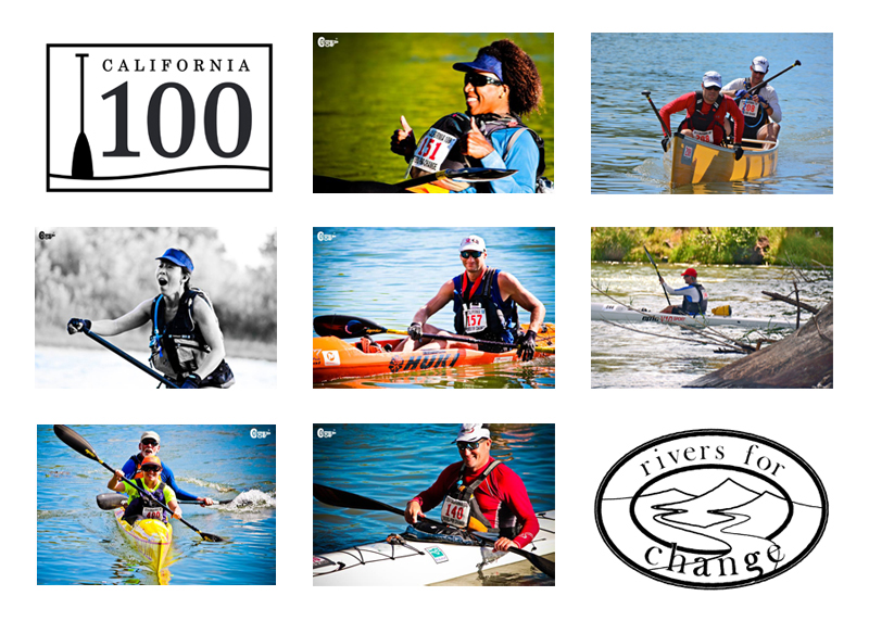
2016 California 100
June 11 @ Redding, California to Chico, California

COURSE MAP
The California 100 begins in Redding, CA just upstream from the Sundial Bridge. From the start line, all paddlers race upstream a short distance before turning around a buoy and heading downstream for 100 miles (or approximately 25 or 50 miles). There are three major checkpoints racers MUST stop at to check-in, clear medical and replenish with nutrients & hydration.
Checkpoints
Checkpoint #1 is at Balls Ferry in Anderson, CA
Checkpoint #2 is TBD, in Red Bluff, CA
Checkpoint #3 is at Woodson Bridge in Corning, CA.
Distances
Start - CP #1: 22 miles
CP#1 - CP#2: (TBD)
CP#2 - CP#3: 24 miles
CP#3 - Finish: 22 miles
Course Maps
The course map is broken down into 8 separate maps that can be easily printed and carried on course. View the 8 course maps in PDF format below.Get more Course information here.