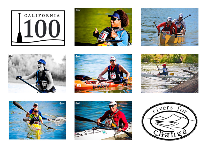
2016 California 100
June 11 @ Redding, California to Chico, California
DIRECTIONS
June 10th Safety Meeting
- River Front Park, Sundial Bridge, Redding, California
- 725 Sundial Bridge Drive, Redding, CA 96001
- Coordinates: 40.590830, -122.383370
June 11th Race Start
- River Front Park, Sundial Bridge, Redding, California
- 725 Sundial Bridge Drive, Redding, CA 96001
- Coordinates: 40.590830, -122.383370
Checkpoint #1 - Balls Ferry Boat Ramp (River Left)
- Location: Intersection of Ash Creek Road & Gover Road, Anderson, CA
- Mileage: Start-Checkpoint 1: 22-23 miles
- Coordinates: 40.417329, -122.192851
Checkpoint #2 - Red Bluff River Park
- Location:
- Mileage: Checkpoint 1 – Checkpoint 2: 31 miles
- Coordinates: 40.172898, -122.229151
Checkpoint #3 - Woodson Bridge, Tehama River Park near Corning, CA (River Left)
- Location: 25324 South Ave, Corning, CA 96021
- Mileage: Checkpoint 2 – Checkpoint 3: 24 miles
- Coordinates: 39.909697, -122.091686
Finish - Pine Creek River Access @ Bidwell Sacramento River State Park (River Left)
- Location: 12429 River Rd, Chico, CA 95973
- Mileage: Checkpoint 3 – Finish: 20-23 miles
- Coordinates: 39.736829, -121.958849