Big Ole SUP-athon
July 07 - July 08, 2016 @ Bugaboo Bay, North Nokomis Northeast, Alexandria, MN, United States
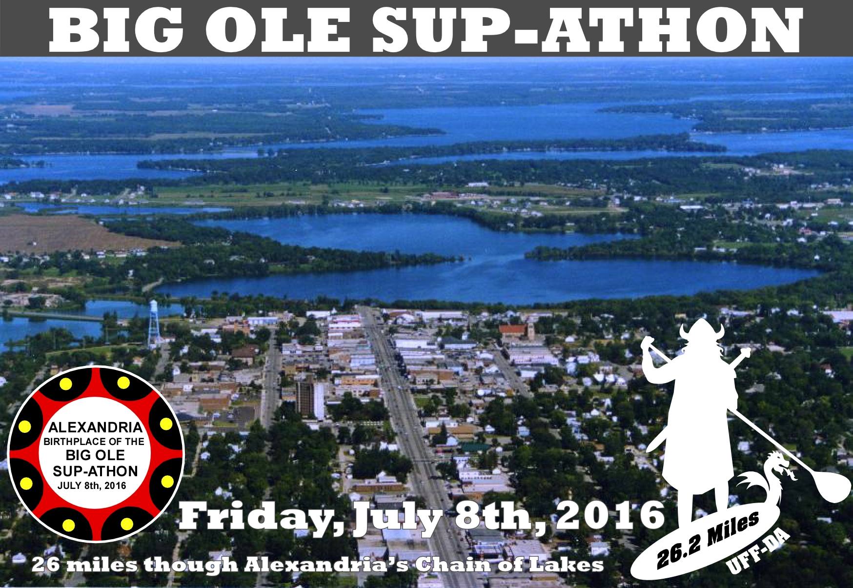
COURSE MAP
Course Maps
BOS organizers know everyone's first question is "How will I know where to go?" Our answer is regular supervision and guidance by volunteers and buoys, and pocket-size waterproof maps for each paddler. BOS organizers know both competitive and non-competitive participants want to review their potential course before registering. And serious paddlers need to have a plan if they're going to win! Our detailed course maps, created using Google Earth & Google Maps, allow paddlers to review the exact path they'll take on July 8th. On the "Directions" page you will find additional Google Maps to guide participants to Bugaboo Bay, the start and finish lines of each course and spectacular spectator maps! Detailed pace plots for each course allow BOS staff and spectators to use a paddler's average speed to guesstimate the times when participants will pass by key points along their course!


Additional Questions or Comments? Contact us at big.ole.supathon@gmail.com
SPONSORS