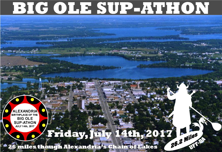
Big Ole SUP-athon 2017
July 13 - July 14, 2017 @ Bugaboo Bay, North Nokomis Northeast, Alexandria, MN, United States
COURSE MAP
Course Maps
Big Ole SUP-athon organizers know everyone's first question is "How will I know where to go?" BOS staff will regularly supervise and guide paddlers and buoys mark the entire LENA course. Unless you're the leader, you'll likely have someone to follow. BOS & SVEN paddlers will receive a pocket-sized waterproof map. We do recommend paddlers review our detailed Google Maps of their course beforehand. Tech-savvy paddlers with GPS-enabled phones can use the Google Maps app to view their position within their course map.
The "Directions" page has additional Google Maps to guide participants to Bugaboo Bay, the Start and Finish lines of each course AND spectacular spectator maps! Detailed pace plots for each course allow BOS staff and spectators to use a paddler's average speed to guesstimate the times when they will pass by observation points along their course and cross the finish line!


Additional Questions or Comments? Contact us at big.ole.supathon@gmail.com
SPONSORS