Chucktown Showdown 2016
September 17 @ 0 Lockwood Blvd, Charleston, SC, United States
COURSE MAP
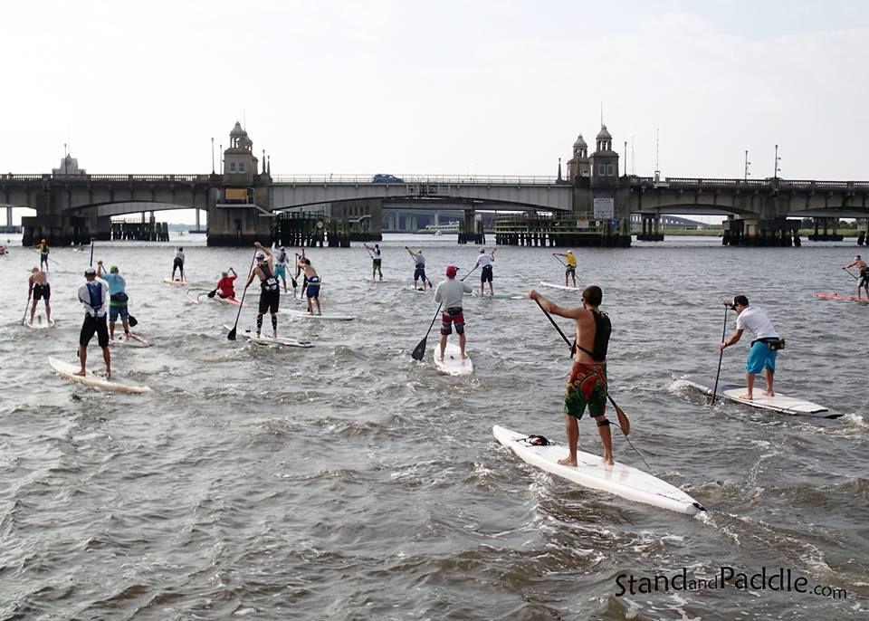
The 4 mile Battery Course starts at the Brittlebank Park fishing pier and travels southeast along the coastline of the Charleston peninsula until it reaches the 2 mile mark (Double Orange Buoy) about near the end of the Battery (tip of the peninsula). Racers make a right-hand (clockwise) turn around the Double Orange Turn Buoy and head back to the Brittlebank Park for the final Yellow Turn Buoy (clockwise) and finish at the fishing pier. The course is a Clockwise loop.
The 9 mile Harbor Course starts the same as the Battery Course but continues past the Double Orange Buoy near the end of the Battery (tip of the peninsula). Once cleared of the peninsula, racers will turn left (now heading NE), continue until you reach Shuttes Folly Island, make a right-hand (clockwise) turn around to the backside (northeast side) of Shuttes Folly Island (now heading SW), continue until you reach the 150' tall Light/Cellular tower, make another right-hand (clockwise) turn around the tower (now heading WSW) heading back up the Ashley River to Brittlebank Park for the final yellow turn buoy for a right-hand (clockwise) turn toward the finish at the fishing pier. The course is a Clockwise loop.
SPONSORS